Athabasca Crossing
Key facts
At-a-glance details for Athabasca Crossing.
Pitches & accommodation
Facilities & details
Amenities and on-site features reported for Athabasca Crossing.
Know before you go
Practical things to prepare for a trip to Athabasca Crossing.
- This is a backcountry site — you'll need to carry in your gear and water.
Location
Where Athabasca Crossing sits on the map and how to get there.
What’s nearby
Shops, drinking water, fuel and attractions within reach of the site.
🏞️ Attractions

Dragon Peak is a 2,880 metres (9,450 ft) mountain summit located in the Athabasca River valley of Jasper National Park, in the Canadian Rockies of Alberta, Canada. Situated southeast of Mount Christie and Brussels Peak, Dragon Peak can be seen from the Icefields Parkway. The first ascent of the mountain was made in 1979 by D. Waterman. Dragon Peak was named in 1921 by Arthur O. Wheeler on account
Dragon Peak is a 2,880 metres (9,450 ft) mountain summit located in the Athabasca River valley of Jasper National Park, in the Canadian Rockies of Alberta, Canada. Situated southeast of Mount Christie and Brussels Peak, Dragon Peak can be seen from the Icefields Parkway. The first ascent of the mountain was made in 1979 by D. Waterman. Dragon Peak was named in 1921 by Arthur O. Wheeler on account

Sunwapta Falls is a pair of waterfalls of the Sunwapta River in Jasper National Park, Alberta, Canada. The falls are accessible via a 600-metre (2,000 ft) access road off the Icefields Parkway, which connects Jasper and Banff National Parks. The falls have a drop of about 18.5 metres (61 feet). Sunwapta is a Stoney language word that means "turbulent water". There are two falls, a lower and an u
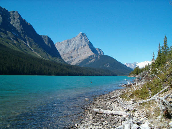
Der Hamber Provincial Park ist ein Provincial Park in der kanadischen Provinz British Columbia. Das etwa 250 km² große Schutzgebiet umfasst einen fast unberührten Abschnitt der kanadischen Rocky Mountains. Bei dem Park handelt es sich um ein Schutzgebiet der Kategorie II (Nationalpark).
Weather
Current conditions and the forecast to help you plan your trip.
Best time to visit
Typical monthly temperature and rainfall at Athabasca Crossing.
Good to know
Quick answers to common questions about Athabasca Crossing.
How many sites does Athabasca Crossing have?
Athabasca Crossing has around 4 pitches.
Reviews
Ratings, nightly prices and photos from people who’ve camped here.
No reviews yet — be the first!
Other campgrounds nearby
More places to camp close to Athabasca Crossing.