Camp Shelly
Location
Where Camp Shelly sits on the map and how to get there.
Nearby cities & towns
Towns and cities closest to Camp Shelly — browse campsites near each.
What’s nearby
Shops, drinking water, fuel and attractions within reach of the site.
🏞️ Attractions

mountain peak southwest of Lake Tahoe, California, United States of America
.jpg?width=640)

Cascade Lake is a glacial lake located in El Dorado County, California approximately 1 kilometre (0.62 mi) from Lake Tahoe. Cascade Lake is the second largest tributary lake feeding into Lake Tahoe. Its depth is 170 feet (52 m), 1 mile (1.6 km) long and 0.5 miles (0.80 km) wide. The lake is also within three to four miles from its neighboring lake, Fallen Leaf Lake, and Emerald Bay.

Eagle Lake is a backcountry lake in the Sierra Nevada mountain range, to the west of Lake Tahoe in the Desolation Wilderness. It can be reached by hiking west out of the Eagle Lake trailhead on HWY 89 at Emerald Bay State Park.

Fallen Leaf is an unincorporated community in El Dorado County, California. It is located at the south end of Fallen Leaf Lake, at an elevation of 6527 feet (1959 m). A resort called Fallen Leaf Lodge was founded by William W. Price in 1908. A post office opened in that year.

The Glen Alpine Springs trailhead or Glen Alpine trailhead is located off Highway 89 a few miles north of South Lake Tahoe, California, at Fallen Leaf Lake just to the west of Lake Tahoe. The road to the trailhead is not plowed in winter and can normally be accessed May - October. A mile up the trail is 'The Historical Preservation of Glen Alpine Springs'. Glen Alpine Springs was one of Tahoe's fi

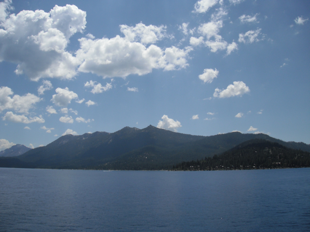
Rubicon (also called "Rubicon Bay") is a former settlement in El Dorado County, California, United States. It was located on Lake Tahoe 4.5 miles (7.2 km) north of Emerald Bay. A post office operated at Rubicon from 1901 to 1906 and from 1909 to 1913, located at the "northeast quarter of Section 4 of Township 13 North, Range 17 East" (of the Mount Diablo meridian). It sat 1/16th (330 feet) north
🛒 Amenities & services
🛒 Groceries
- Camp Richardson General Store
 Raley's
- Grass Roots Natural Foods
⛽ Fuel
 Chevron
- Sinclair
 Shell
Shell
🍽️ Food & drink
- Camp Richardson Coffee & Confectionary
- Beacon Bar & Grill
- Evan's American Gourmet Cafe
➕ Medical
 CVS Pharmacy
🚰 Drinking water
- Drinking water
- Drinking water tap
🚻 Toilets & showers
- Public toilets
- Showers
🎾 Sports
- Volleyball
- 90 Foot Wall
- Mayhem Cove
🏧 ATM & bank
 Wells Fargo
 Bank of America
- Bank of the West
Weather
Current conditions and the forecast to help you plan your trip.
Best time to visit
Typical monthly temperature and rainfall at Camp Shelly.
Good to know
Quick answers to common questions about Camp Shelly.
Where is Camp Shelly located?
Camp Shelly is in South Lake Tahoe, CA.
Reviews
Ratings, nightly prices and photos from people who’ve camped here.
No reviews yet — be the first!
Other campgrounds nearby
More places to camp close to Camp Shelly.