Camping Les Alluvions
Location
Where Camping Les Alluvions sits on the map and how to get there.
Nearby cities & towns
Towns and cities closest to Camping Les Alluvions — browse campsites near each.
What’s nearby
Shops, drinking water, fuel and attractions within reach of the site.
🏞️ Attractions

mountain in Quebec, Canada

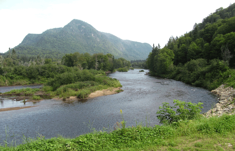
The Sautauriski mountain (old name: "Mont des Loups") culminates at 727 metres (2,385 ft) in the southern part of Jacques-Cartier National Park, in the municipality of Stoneham-et-Tewkesbury, in the regional county municipality (MRC) of La Jacques-Cartier, in the administrative region of Capitale-Nationale, in Quebec, Canada.

Le parc national de la Jacques Cartier, d'une superficie de 670 km2, est situé à 30 minutes de la ville de Québec dans la vallée de la rivière Jacques-Cartier au Québec.
🛒 Amenities & services
🛒 Groceries
- Convenience
🚰 Drinking water
- Drinking water
🚻 Toilets & showers
- Bloc sanitaire Alluvions Sud
- Public toilets
- Bloc sanitaire Alluvions Nord
Weather
Current conditions and the forecast to help you plan your trip.
Best time to visit
Typical monthly temperature and rainfall at Camping Les Alluvions.
Good to know
Quick answers to common questions about Camping Les Alluvions.
Who runs Camping Les Alluvions?
Camping Les Alluvions is operated by SÉPAQ.
Reviews
Ratings, nightly prices and photos from people who’ve camped here.
No reviews yet — be the first!
Other campgrounds nearby
More places to camp close to Camping Les Alluvions.
- Espace VR
- Camping Bétulaie · SÉPAQ
- Camping de l'Escarpement · SÉPAQ
- Le Grand Duc · SEPAQ
- Camping Nord-Bec Stoneham
- Bec Scie