Camping Les Pins
Location
Where Camping Les Pins sits on the map and how to get there.
Nearby cities & towns
Towns and cities closest to Camping Les Pins — browse campsites near each.
What’s nearby
Shops, drinking water, fuel and attractions within reach of the site.
🏞️ Attractions
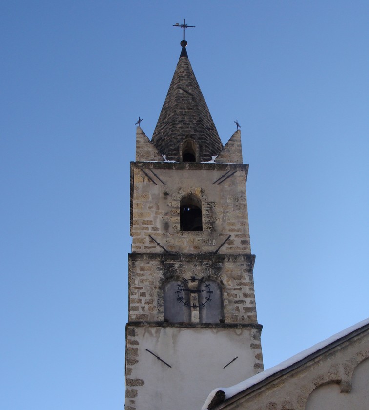
Crots (French pronunciation: [kʁo]; Occitan: Las Cròtas) is a commune in the Hautes-Alpes department in southeastern France. The territory of the commune belongs to the Écrins National Park.

La fontaine pétrifiante de Réotier se situe dans le département des Hautes-Alpes en région Provence-Alpes-Côte d'Azur, dans la commune de Réotier, entre Guillestre et Briançon, à 910 m d'altitude environ.
🛒 Amenities & services
🛒 Groceries
- Épicerie des Lys
 Spar
Spar- A la Source Bio
⛽ Fuel
 Intermarché
- Centre Auto Vianor
- Carrefour
🍽️ Food & drink
- Bar
- La Forge
- Bar tabac des Hôtels
➕ Medical
- Doctors
- Pharmacie du Mont Guillaume
- Pharmacie du Soleil
🚰 Drinking water
- Drinking water
- chapelle Saint Jean Baptiste
- Fontaine-Lavoir
🚻 Toilets & showers
- Public toilets
- Showers
🎾 Sports
- Boules
- Volleyball
- Base Nautique
🏧 ATM & bank
- ATM
 BNP Paribas
 Crédit Agricole
Weather
Current conditions and the forecast to help you plan your trip.
Best time to visit
Typical monthly temperature and rainfall at Camping Les Pins.
Reviews
Ratings, nightly prices and photos from people who’ve camped here.
No reviews yet — be the first!
Other campgrounds nearby
More places to camp close to Camping Les Pins.