Camping municipal Parc de la Dranse
Location
Where Camping municipal Parc de la Dranse sits on the map and how to get there.
Nearby cities & towns
Towns and cities closest to Camping municipal Parc de la Dranse — browse campsites near each.
What’s nearby
Shops, drinking water, fuel and attractions within reach of the site.
🏞️ Attractions
.jpg?width=640)
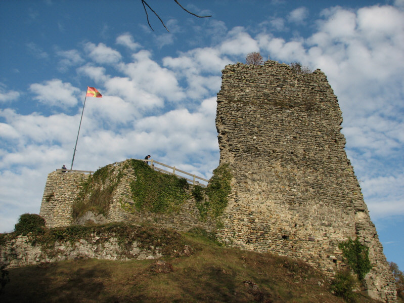
Allinges (French pronunciation: [alɛ̃ʒ]; Savoyard: Alinzho) is a commune in the Haute-Savoie department in south-eastern France.
Le mont d'Hermone est une montagne principalement boisée des Préalpes située en Haute-Savoie, dans le massif du Chablais. Le point culminant est à cheval sur les communes de Lyaud, Vailly et Orcier. L'extrémité méridionale de la crête, à 1 326 m d'altitude, abrite la chapelle Notre-Dame d'Hermone construite au XVIe siècle.
🛒 Amenities & services
🛒 Groceries
 Intermarché
 La Vie Claire
- La vie selon Gaïa
⛽ Fuel
 Esso Express
 Avia
Avia- Fuel station
🍽️ Food & drink
- Club House
- Coffee Break
- La Table Cora
➕ Medical
- Pharmacie Oddon
- Pharmacie de Vongy
- Pharmacie Ange
🚰 Drinking water
- Drinking water
- Source Souriane
- Buvette publique du Parc
🚻 Toilets & showers
- Public toilets
- Showers
🎾 Sports
- Salle Joygoy
- Ski Nautique
- Gymnase du Commandant Madelaine
🏧 ATM & bank
- ATM
 Crédit Agricole
 Caisse d'Épargne
Weather
Current conditions and the forecast to help you plan your trip.
Best time to visit
Typical monthly temperature and rainfall at Camping municipal Parc de la Dranse.
Reviews
Ratings, nightly prices and photos from people who’ve camped here.
No reviews yet — be the first!
Other campgrounds nearby
More places to camp close to Camping municipal Parc de la Dranse.
- Camping Saint-Disdille
- Les Huttins
- Le Disdillou
- Camping La Dranse · Vacances André Trigano
- Camping La Prairie
- Camping Le Lac Noir