Etherley Farm
Facilities & details
Amenities and on-site features reported for Etherley Farm.
Location
Where Etherley Farm sits on the map and how to get there.
Nearby cities & towns
Towns and cities closest to Etherley Farm — browse campsites near each.
What’s nearby
Shops, drinking water, fuel and attractions within reach of the site.
🏞️ Attractions

Leith Hill in southern England is the highest summit of the Greensand Ridge, approximately 6.7 km (4 mi) southwest of Dorking, Surrey and 40.5 km (25 mi) southwest of central London. It reaches 294 m (965 ft) above sea level, and is the second highest point in southeast England, after Walbury Hill in southwest Berkshire,. Leith Hill is the highest ground for 79 km (49 mi).
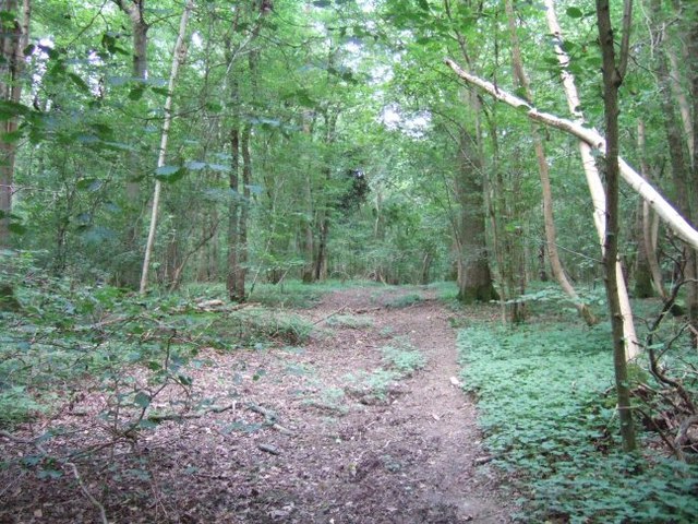
Vann Lake and Ockley Woods is a 57.8-hectare (143-acre) biological Site of Special Scientific Interest south of Ockley in Surrey. Vann Lake is part of Vann Lake and Candy's Copse, a nature reserve managed by the Surrey Wildlife Trust. This site has a lake and ancient woodland which is botanically rich, especially for mosses, liverworts and fungi. There are diverse species of breeding birds and inv

Holmbury Hill is a wooded area of 261 metres (856 ft) above sea level in Surrey, England, and the site of an Iron Age-period hillfort. The Old Saxon word "holm" can be translated as hill and "bury" means fortified place. It sits along the undulating Greensand Ridge, its summit being 805 feet (245 m) from the elevated and tightly clustered small village of Holmbury St. Mary which was traditionally


Capel () is a village and civil parish in southern Surrey, England. It is equidistant between Dorking and Horsham – about 5 miles (8.0 km) away. Around Capel, to the west, skirts the A24 road. Capel is approximately 2.5 miles (4.0 km) north of the West Sussex border, 26 miles (42 km) south of London and 12 miles (19 km) southeast of Guildford and is in the Mole Valley district. The village is in t

🛒 Amenities & services
🛒 Groceries
 Premier
- Capel General Store
- Convenience
⛽ Fuel
- Murco
 Esso
Esso Shell
Shell
🍽️ Food & drink
- The Parrot Inn
- Cafe
- Leith Hill Tower
➕ Medical
- Brockwood Pharmacy
- Cranleigh Pharmacy
- Shere Surgery/Dispensary
🚰 Drinking water
- Drinking water
🚻 Toilets & showers
- Public toilets
- Petrol Station Toilet
- Box Hill NT
🎾 Sports
- Sports
- Swimming pool
- Cricket
🏧 ATM & bank
- ATM
 Lloyds Bank
- Nationwide
Weather
Current conditions and the forecast to help you plan your trip.
Best time to visit
Typical monthly temperature and rainfall at Etherley Farm.
Good to know
Quick answers to common questions about Etherley Farm.
Is Etherley Farm wheelchair accessible?
No, Etherley Farm is not wheelchair accessible.
Reviews
Ratings, nightly prices and photos from people who’ve camped here.
No reviews yet — be the first!
Other campgrounds nearby
More places to camp close to Etherley Farm.
- Hurtwood Hideout
- Surrey Hills Park
- Dorking Scouts Camp Site
- Ranmore Common Campsite · Forestry Commission
- Bentley Copse Activity Centre
- Nowhurst Camp Site · Girlguiding Horsham Division