Facilities & details
Amenities and on-site features reported for Gamp.
Know before you go
Practical things to prepare for a trip to Gamp.
- No toilets here — come prepared and pack out waste (Leave No Trace).
- Bring cash for fees in case card payment isn't available on site.
Location
Where Gamp sits on the map and how to get there.
Nearby cities & towns
Towns and cities closest to Gamp — browse campsites near each.
What’s nearby
Shops, drinking water, fuel and attractions within reach of the site.
🏞️ Attractions

Gufidaun (italienisch Gudon) ist ein Dorf mit 500 Einwohnern in der Gemeinde Klausen in Südtirol (Italien). Der Ort liegt im Eisacktal östlich über dem Stadtkern Klausens. Er liegt auf einer Mittelgebirgsterrasse auf 730 m Höhe. Nordseitig bricht das Gelände steil zum unteren Villnößtal ab.

Der Säbener Berg, meist einfach Säben genannt, ist eine im Eisacktal aufragende Anhöhe oberhalb von Klausen in Südtirol. Er gilt schon seit dem 4. Jahrtausend v. Chr. als besiedelt, da seine abweisende Form der Bevölkerung unter anderem einen Zufluchtsort vor drohenden Gefahren bot. Dies belegen archäologische Funde, die zwischen 1929 und 1982 gemacht wurden. In der Spätantike und im Frühmittelalt

Das Bergwerk Villanders über dem Tinnetal bei Villanders in Südtirol war im Mittelalter eines der bedeutenden Bergwerke im Tiroler Raum, es spielte eine zentrale Rolle in der regionalen Bergbaugeschichte.

Barbian ([ˈbarbɪan]; italienisch Barbiano) ist eine italienische Gemeinde mit 1761 Einwohnern (Stand 31. Dezember 2024) im Eisacktal in Südtirol. Hauptort und Sitz der Gemeinde ist das gleichnamigen Dorf.
🛒 Amenities & services
🛒 Groceries
- Convenience
- Gol Market
- Krämer
⛽ Fuel
 Q8
- GNP
- Fuel station
🍽️ Food & drink
- Imbiss Herbert
- Café & Konditorei Reiserer
- Aquarium
➕ Medical
- Stadtapotheke
- Doctors
- Arkaden
🚰 Drinking water
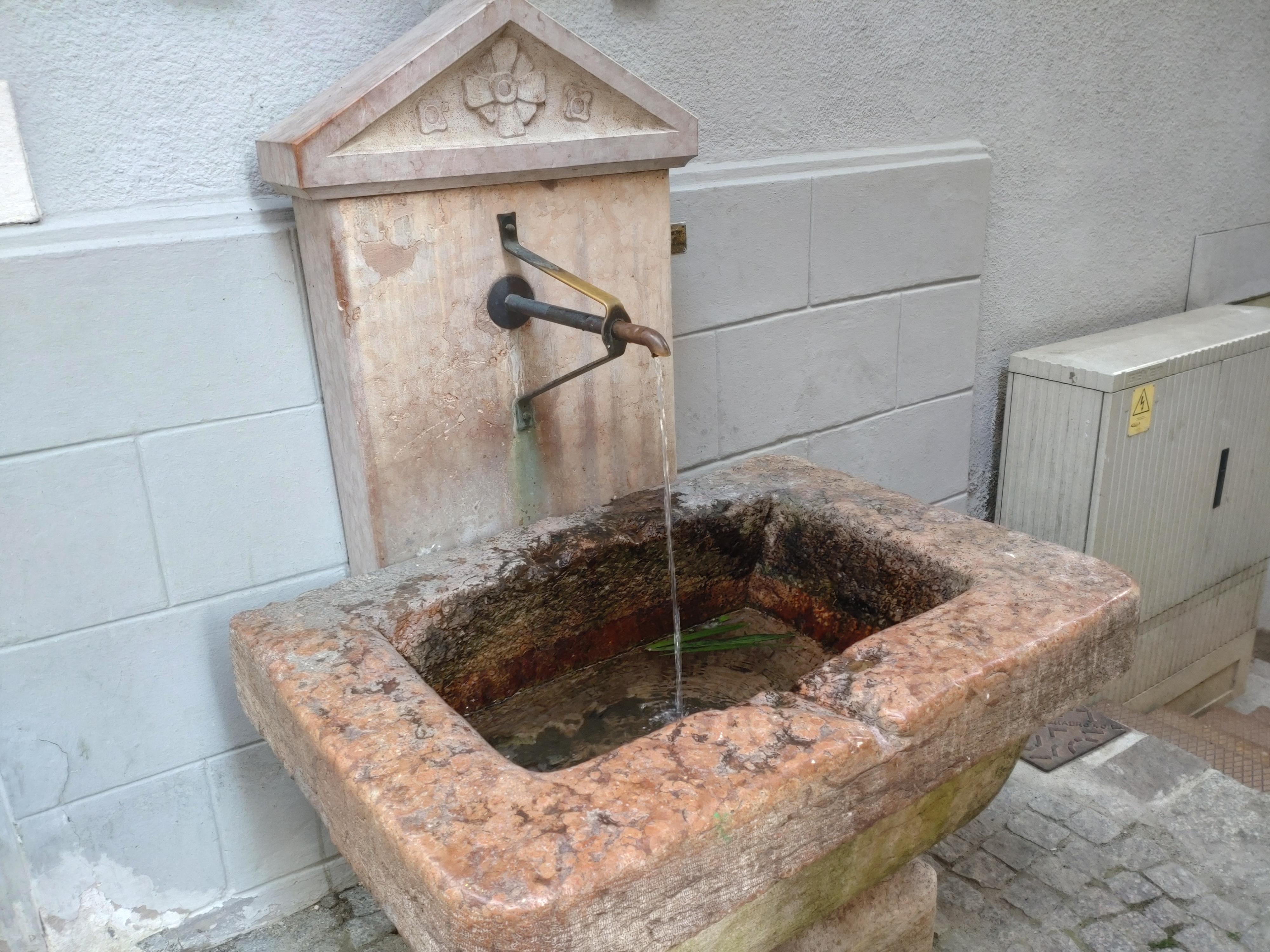 Drinking water
- Dorfbrunnen
🚻 Toilets & showers
- Public toilets
🎾 Sports
- Sporthaus Villanders
- Sportstadion Barbian / Vilanders - Stadio Barbiano / Villandro
- Swimming
🏧 ATM & bank
- Sparkasse - Cassa di Risparmio
- Raiffeisenkasse
- ATM
Weather
Current conditions and the forecast to help you plan your trip.
Best time to visit
Typical monthly temperature and rainfall at Gamp.
Good to know
Quick answers to common questions about Gamp.
How much does it cost to camp at Gamp?
Gamp charges a camping fee.
Are there toilets at Gamp?
No, there are no toilets on site.
Are showers available at Gamp?
No, showers are not available.
Are there electrical hookups at Gamp?
Yes, electrical hookups are available.
Is there WiFi at Gamp?
Yes, internet access is available (WiFi).
Is there an RV dump station at Gamp?
No dump station is available.
Reviews
Ratings, nightly prices and photos from people who’ve camped here.
No reviews yet — be the first!
Other campgrounds nearby
More places to camp close to Gamp.