Green Bank
Location
Where Green Bank sits on the map and how to get there.
Nearby cities & towns
Towns and cities closest to Green Bank — browse campsites near each.
What’s nearby
Shops, drinking water, fuel and attractions within reach of the site.
🏞️ Attractions

The Mulwala Bridge is a road bridge that crosses the Murray River and connects Yarrawonga in Victoria and Mulwala in New South Wales, Australia. Completed in 1924, the Pratt truss bridge was designed by Percy Allan. The bridge spans Lake Mulwala, a reservoir formed by the Yarrawonga Weir, and forms part of the border between New South Wales and Victoria.
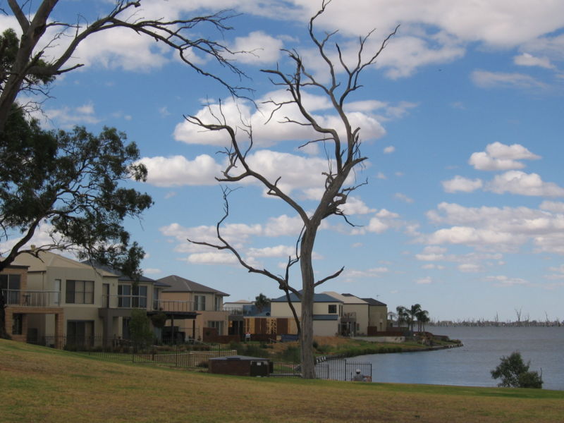
Mulwala (locally mul-WAY-lə, elsewhere also mul-WAH-lə) is a town in the Federation Council local government area in the Riverina district of New South Wales, Australia. Situated on Lake Mulwala, an artificial lake formed by the damming of the Murray River, it forms a "twin town" with the larger town of Yarrawonga across the border in Victoria. At the 2021 census, Mulwala had a population of 2,5

🛒 Amenities & services
🛒 Groceries
- Yarra's Min Marrt and Confectionary
- Woolworths
 Ritchies IGA + Liquour
⛽ Fuel
- Fuel station
 Caltex
 BP Yarrawonga
🍽️ Food & drink
- Criterion Hotel
- Ali Baba
- The Yarrawonga Hotel
➕ Medical
- TerryWhite Chemmart
- Yarrawonga Hospital
- Yarrawonga Medical Complex
🚰 Drinking water
- Drinking water
🚻 Toilets & showers
- Public toilets
- Rotary Park
- Yarrawonga Town Hall
🎾 Sports
- Swimming pool
- Yarrawonga Mulwala Golf Club Resort
- Bowls
🏧 ATM & bank
 ANZ
ANZ- NAB
 Commonwealth Bank
Weather
Current conditions and the forecast to help you plan your trip.
Best time to visit
Typical monthly temperature and rainfall at Green Bank.
Reviews
Ratings, nightly prices and photos from people who’ve camped here.
No reviews yet — be the first!
Other campgrounds nearby
More places to camp close to Green Bank.