Hohes Ufer
Location
Where Hohes Ufer sits on the map and how to get there.
Nearby cities & towns
Towns and cities closest to Hohes Ufer — browse campsites near each.
What’s nearby
Shops, drinking water, fuel and attractions within reach of the site.
🏞️ Attractions
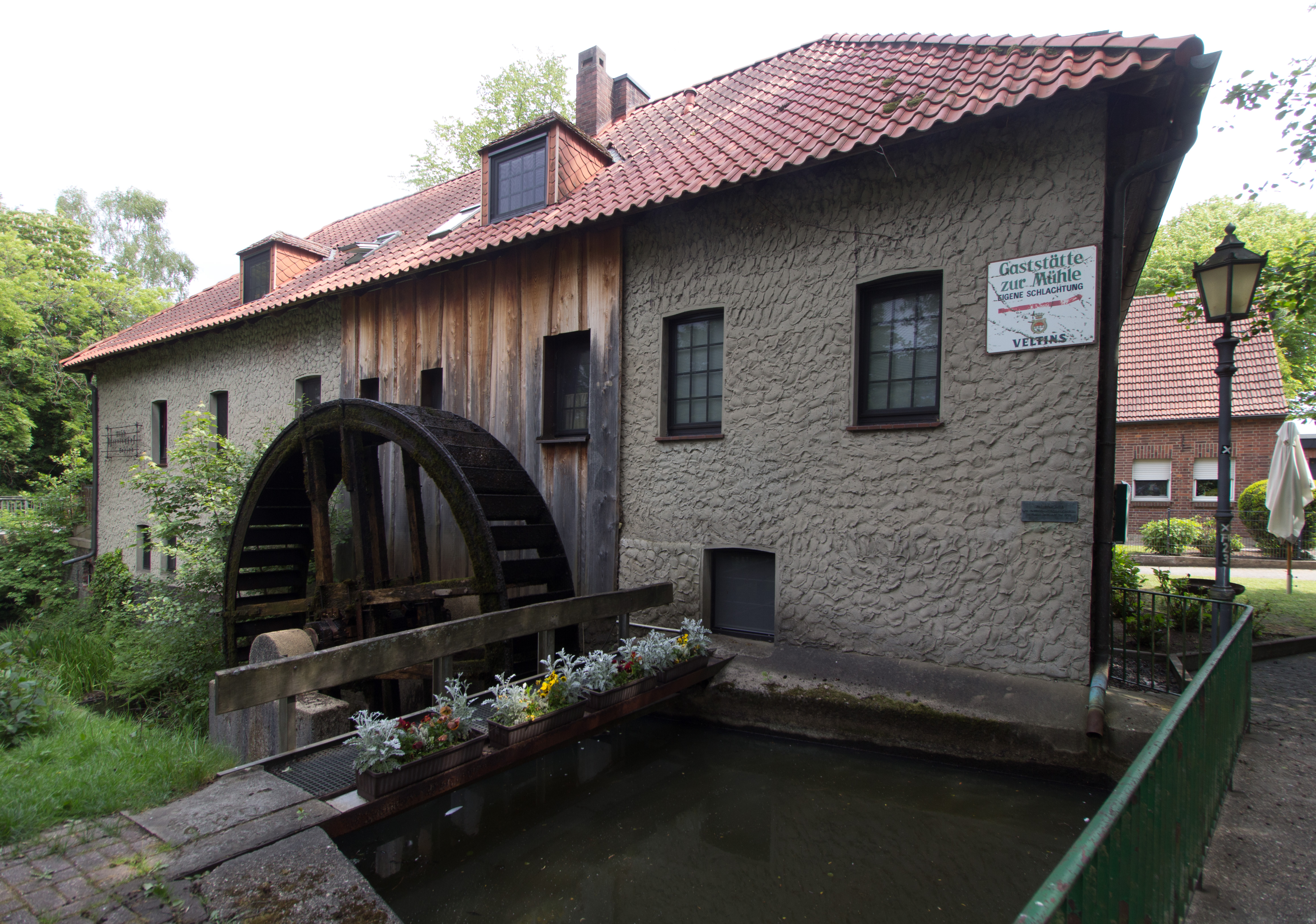
Gahlen ist ein Ortsteil der niederrheinischen Gemeinde Schermbeck im Kreis Wesel mit etwa 2200 Einwohnern. Zum Ortsgebiet gehören die Dörfer Besten, Bruch und Heisterkamp.
hill in North Rhine-Westphalia, Germany


Lohberg is one of seven subdivisions of Dinslaken, a city located at the northwestern margin of the Ruhr area. Lohberg is mainly known for its now closed coal mine Zeche Lohberg.
🛒 Amenities & services
🛒 Groceries
- Lipperhof
- Sardemann's Hof
- Ihr frischmarkt
⛽ Fuel
- Rudolf Domjahn e.K.
- B & S Petroleum GbR
- Roring
🍽️ Food & drink
- Restaurant
- Schlemmerstübchen
- El Capitan
➕ Medical
- Hausarztpraxis Jung
- Praxis für Naturheilkunde
- Kilian-Apotheke
🚰 Drinking water
- Artesischer Brunnen
- Drinking water
🚻 Toilets & showers
- Public toilets
- Showers
- Schwerbehindertentoilette
🎾 Sports
- Table tennis
- Schützenverein Damm
- Reiterverein Wanderfalke Drevenack e.V.
🏧 ATM & bank
- Sparkasse Vest
- Vereinte Volksbank
- ATM
Weather
Current conditions and the forecast to help you plan your trip.
Best time to visit
Typical monthly temperature and rainfall at Hohes Ufer.
Reviews
Ratings, nightly prices and photos from people who’ve camped here.
No reviews yet — be the first!
Other campgrounds nearby
More places to camp close to Hohes Ufer.