Jon & Jenni’s Shack
Location
Where Jon & Jenni’s Shack sits on the map and how to get there.
Nearby cities & towns
Towns and cities closest to Jon & Jenni’s Shack — browse campsites near each.
What’s nearby
Shops, drinking water, fuel and attractions within reach of the site.
🏞️ Attractions

The historical Burro Schmidt Tunnel is located in the El Paso Mountains of the northern Mojave Desert, in eastern Kern County, southern California.
mountain in Kern County, California, United States of America
protected wilderness area in California, United States
mountain in Kern County, California, United States of America; geonames ID = 5329037

Red Rock Canyon State Park is a state park in the U.S. state of California which features scenic desert cliffs, buttes and spectacular rock formations. The park consists of approximately 27,000 acres (110 km2) within the Mojave Sector of the Tehachapi District of the California State Park System, and is located along State Highway 14 in Kern County, about 80 miles (129 km) east of Bakersfield and
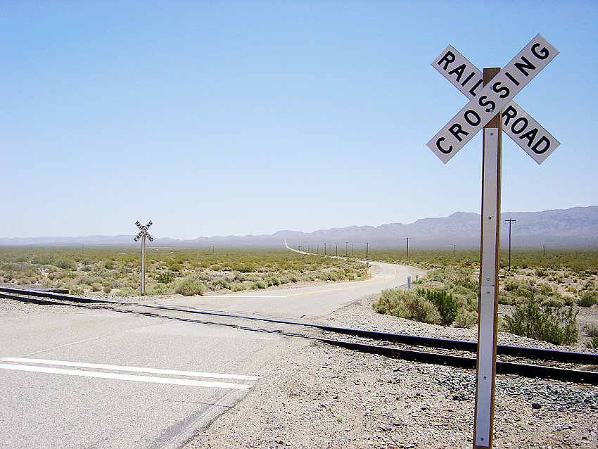
Garlock (formerly, Eugeneville) is an unincorporated community in Kern County, California, United States. It is located 6.25 miles (10 km) east-southeast of Saltdale, at an elevation of 2,169 feet (661 m). A post office operated at Garlock from 1896 to 1904 and from 1923 to 1926. Garlock is a ghost town that was known as El Paso City or Cow Wells interchangeably. The little town provided water for
Weather
Current conditions and the forecast to help you plan your trip.
Best time to visit
Typical monthly temperature and rainfall at Jon & Jenni’s Shack.
Reviews
Ratings, nightly prices and photos from people who’ve camped here.
No reviews yet — be the first!
Other campgrounds nearby
More places to camp close to Jon & Jenni’s Shack.
- Ricardo Campground · California Department of Parks and Recreation
- Jawbone Canyon Dispersed Camping
- Dirt Digger's OHV
- Prospectors' Camp Site
- Walker Pass Campground
- Desert Empire RV Park