Lo de Billy
Location
Where Lo de Billy sits on the map and how to get there.
Nearby cities & towns
Towns and cities closest to Lo de Billy — browse campsites near each.
What’s nearby
Shops, drinking water, fuel and attractions within reach of the site.
🏞️ Attractions

Cerro de los Siete Colores (The Hill of Seven Colors) is one of the hills bordering the Quebrada de Purmamarca which is in turn is a western branch of the Quebrada de Humahuaca up to Cuesta del Lipán, in Jujuy Province, Argentina. Its unique color range is the product of a complex geological history including marine sediments, lake and river movements elevated with the movement of the tectonic pla


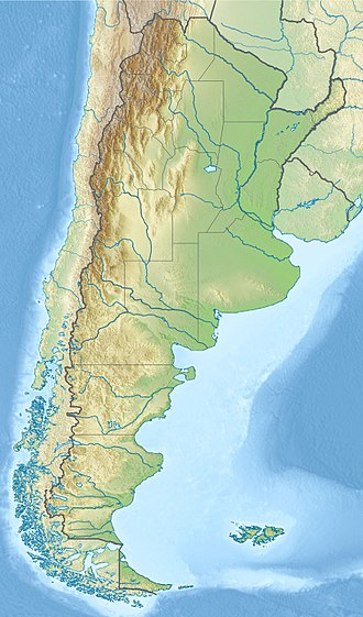
El Macizo de los Siete Colores es un cerro ubicado en las afueras de la ciudad de Purmamarca sobre la Ruta Nacional 52 que se dirige al Paso de Jama, a 4 kilómetros de la Ruta Nacional 9 en la provincia de Jujuy (Argentina).
🛒 Amenities & services
🛒 Groceries
- Despensa El Tropezon
- Camino al Cerro
- Convenience
🍽️ Food & drink
- Restaurant
- Kuntur Peña 2
- Pedro Pan
➕ Medical
- Pharmacy
- CAPS Purmamarca
- Punto de Salud
🚻 Toilets & showers
- Public toilets
🎾 Sports
- Santa Rosa
- Soccer
- Canca de Volley de cemento
🏧 ATM & bank
- Macro
Weather
Current conditions and the forecast to help you plan your trip.
Best time to visit
Typical monthly temperature and rainfall at Lo de Billy.
Reviews
Ratings, nightly prices and photos from people who’ve camped here.
No reviews yet — be the first!
Other campgrounds nearby
More places to camp close to Lo de Billy.