Montagu Guano Caves Camp Site
Location
Where Montagu Guano Caves Camp Site sits on the map and how to get there.
Nearby cities & towns
Towns and cities closest to Montagu Guano Caves Camp Site — browse campsites near each.
What’s nearby
Shops, drinking water, fuel and attractions within reach of the site.
🏞️ Attractions

Montagu ist eine Stadt in der Lokalgemeinde Langeberg, im Distrikt Cape Winelands der südafrikanischen Provinz Westkap. Sie liegt in einem fruchtbaren Tal am Zusammenfluss der Flüsse Kingna River und Kogmanskloof River (Keisi River) an der Route 62 unweit der Stadt Ashton. Nach der Volkszählung von 2011 hatte die Stadt 15.176 Einwohner in 4029 Haushalten.
Protected area surrounding the Langeberg mountain range, South Africa
🛒 Amenities & services
🛒 Groceries
- Die Visfabriek
 Spar
- Montagu MiniMarket
⛽ Fuel
 BP
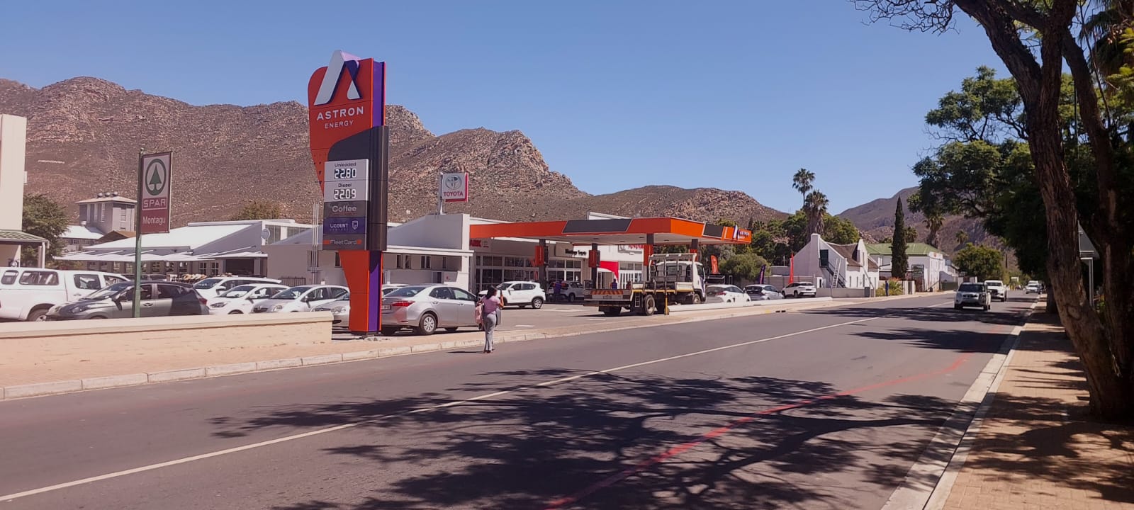 Astron Energy
 TotalEnergies
🍽️ Food & drink
- La Mont Deli & Bistro
- The Barn on 62
- The Orchard Tea Garden
➕ Medical
- Montagu Hospital
- Dr HR Scholz
- Doctors
🚻 Toilets & showers
- Public toilets
🎾 Sports
- Swimming pool
- Athletics
- Field hockey
🏧 ATM & bank
 ATM
- ABSA
- Standard Bank
Weather
Current conditions and the forecast to help you plan your trip.
Best time to visit
Typical monthly temperature and rainfall at Montagu Guano Caves Camp Site.
Reviews
Ratings, nightly prices and photos from people who’ve camped here.
No reviews yet — be the first!
Other campgrounds nearby
More places to camp close to Montagu Guano Caves Camp Site.