Peggy's Pasture
Location
Where Peggy's Pasture sits on the map and how to get there.
Nearby cities & towns
Towns and cities closest to Peggy's Pasture — browse campsites near each.
What’s nearby
Shops, drinking water, fuel and attractions within reach of the site.
🏞️ Attractions


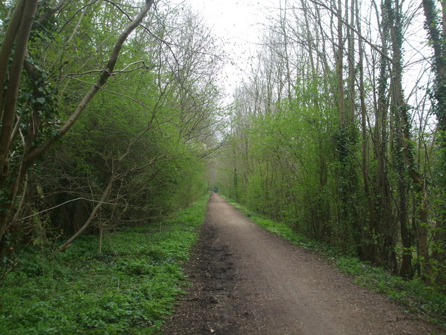
Whitwell Common is a 19.4-hectare (48-acre) biological Site of Special Scientific Interest north-east of Dereham in Norfolk, England. This common in the valley of a tributary of the River Wensum has diverse wetland flora on peat soils. There are also areas of wet alder woodland, fen and unimproved grassland, with grasses such as sheep's fescue and Yorkshire fog. The site is open to the public.
_line_past_Chapel_Hill_-_geograph.org.uk_-_2298276.jpg?width=640)

🛒 Amenities & services
🛒 Groceries
- Taverham Service Station
- Grab&Go
- Sunrise Asia Market
⛽ Fuel
 Shell
Shell- Hocking Motor Services
- Fuel station
🍽️ Food & drink
 Starbucks
- Cafe
 Costa
Costa
➕ Medical
- Boots
- Roundwell Pharmacy
- Norfolk and Norwich University Hospital:Emergency Department
🚰 Drinking water
- Feast Hydration Station
- Drinking water
🚻 Toilets & showers
- Public toilets
- Sloughbottom Park Toilets
- Changing Places, Vauxhall Community Hub
🎾 Sports
- Table tennis
- Lakeside Country Club
- Basketball
🏧 ATM & bank
- ATM
- Norwich City Community Bank
- Yorkshire Building Society
Weather
Current conditions and the forecast to help you plan your trip.
Best time to visit
Typical monthly temperature and rainfall at Peggy's Pasture.
Reviews
Ratings, nightly prices and photos from people who’ve camped here.
No reviews yet — be the first!
Other campgrounds nearby
More places to camp close to Peggy's Pasture.