Ants Hill Caravan Park (camp site)
Facilities & details
Amenities and on-site features reported for Ants Hill Caravan Park (camp site).
Know before you go
Practical things to prepare for a trip to Ants Hill Caravan Park (camp site).
- Bring cash for fees in case card payment isn't available on site.
Location
Where Ants Hill Caravan Park (camp site) sits on the map and how to get there.
Nearby cities & towns
Towns and cities closest to Ants Hill Caravan Park (camp site) — browse campsites near each.
What’s nearby
Shops, drinking water, fuel and attractions within reach of the site.
🏞️ Attractions

museum in Laugharne


Llanddowror is a village and community in Carmarthenshire, Wales situated 2 miles (3 km) from St. Clears. Previously on the trunk road to Pembroke Dock, the village is small, historic and relatively unspoilt. Llanddowror is famous for being the home of its rector, Griffith Jones, the 18th century Anglican educator and promoter of Methodism, who was funded by Bridget Bevan in organising circulating

Pendine Sands (Welsh: Traeth Pentywyn) is a 7-mile (11 km) beach on the shores of Carmarthen Bay on the south coast of Wales. It stretches west to east from Gilman Point to Laugharne Sands. The village of Pendine (Welsh: Pentywyn) is close to the western end of the beach. In the early 1900s the sands were used as a venue for car and motor cycle races. From 1922 the annual Welsh TT motor cycle eve

Brandy Hill is a hill in South Wales between Pendine and Whitland, and south-west of St. Clears. At the summit stand a radio transmitter and a trig point.
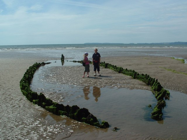
Marros Sands is a beach in Carmarthenshire between Amroth and Pendine and to the south of the small settlement of Marros. The beach is separated from Amroth beach to the west by Telpyn Point and from Morfabychan beach to the east by Ragwen Point. The land to the north of the beach is formed from cliffs and hillside that slopes steeply up towards Marros Beacon. There are caves towards the western e


🛒 Amenities & services
🛒 Groceries
- Select Convenience
 Nisa Local
 Spar
⛽ Fuel
 Valero
 Fuel station
🍽️ Food & drink
- The Ferryman Delicatessen
- The New Three Mariners
- Poon Street Food
➕ Medical
- The Pharmacy, Laugharne Post Office
- Wogan Street Clinic
- Ysbyty Werndale Private Hospital
🚰 Drinking water
- Drinking water
🚻 Toilets & showers
- Public toilets
🎾 Sports
- Swimming pool
- Woodford Park
- Skateboard
Weather
Current conditions and the forecast to help you plan your trip.
Best time to visit
Typical monthly temperature and rainfall at Ants Hill Caravan Park (camp site).
Good to know
Quick answers to common questions about Ants Hill Caravan Park (camp site).
How much does it cost to camp at Ants Hill Caravan Park (camp site)?
Ants Hill Caravan Park (camp site) charges a camping fee.
Reviews
Ratings, nightly prices and photos from people who’ve camped here.
No reviews yet — be the first!
Other campgrounds nearby
More places to camp close to Ants Hill Caravan Park (camp site).