Carne Camping
Location
Where Carne Camping sits on the map and how to get there.
Nearby cities & towns
Towns and cities closest to Carne Camping — browse campsites near each.
What’s nearby
Shops, drinking water, fuel and attractions within reach of the site.
🏞️ Attractions

hill in Cornwall, England, UK

early Christian memorial stone in Madron, Cornwall, England, UK


ruins of former tin mine located near Porthmeor, Cornwall

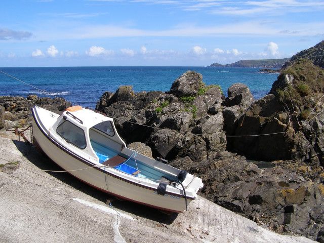
Pendeen (from Cornish: Penn Din meaning "headland fort", previously known as Cornish: Boskaswal Wartha, meaning "Caswal's high dwelling") is a village and ecclesiastical parish on the Penwith peninsula in Cornwall, England. It is 3 miles (5 kilometres) north-northeast of St Just and 7 mi (11 km) west of Penzance. It lies along the B3306 road which connects St Ives to Land's End and the A30 road. T


hill in Cornwall, England, UK
🛒 Amenities & services
🛒 Groceries
 Spar
Spar- Stones Fruit & Veg
 Co-op Food
⛽ Fuel
- Trewellard Garage
 Texaco
 Tesco Filling Station
🍽️ Food & drink
- Rosemergy Tea Rooms
- Lils Fish And Chips
- The North Inn
➕ Medical
- Day Lewis Pharmacy
- Cape Cornwall Surgery
- West Cornwall Hospital (Penzance)
🚰 Drinking water
- Drinking water
🚻 Toilets & showers
- Public toilets
- Showers
- Warrens Bakery toilet
🎾 Sports
- Sports
- St Just FC
- Lafrowda Park
🏧 ATM & bank
- ATM
 HSBC UK
 Santander
Weather
Current conditions and the forecast to help you plan your trip.
Best time to visit
Typical monthly temperature and rainfall at Carne Camping.
Reviews
Ratings, nightly prices and photos from people who’ve camped here.
No reviews yet — be the first!
Other campgrounds nearby
More places to camp close to Carne Camping.