Lower Treave
Location
Where Lower Treave sits on the map and how to get there.
Nearby cities & towns
Towns and cities closest to Lower Treave — browse campsites near each.
What’s nearby
Shops, drinking water, fuel and attractions within reach of the site.
🏞️ Attractions

Chapel Carn Brea is an elevated Hercynian granite outcrop, owned by the National Trust at the southern edge of the civil parish of St Just, Cornwall, England, United Kingdom. The hill is 5 kilometres (3.1 mi) south of St Just and 3.5 kilometres (2.2 mi) east of Sennen Cove, and just to the north of the A30 London to Land's End road, which runs through the village of Crows-an-Wra. It should not be

Boscawen-Ûn is a Bronze Age stone circle close to St Buryan in Cornwall, UK. It consists of nineteen upright stones in an ellipse with another, leaning, middle stone just south of the centre. There is a west-facing gap in the circle, which may have formed an entrance. The elliptical circle has diameters 24.9 and 21.9 metres. It is located at grid reference SW412274.


Sennen Cove Lifeboat Station is the base for Royal National Lifeboat Institution (RNLI) search and rescue operations for the sea around Land's End, Cornwall in the United Kingdom. The first lifeboat was stationed at Sennen Cove in 1853. Since 2009 it has operated a Tamar-class all-weather boat (ALB) and a D-class (IB1) inshore lifeboat (ILB).
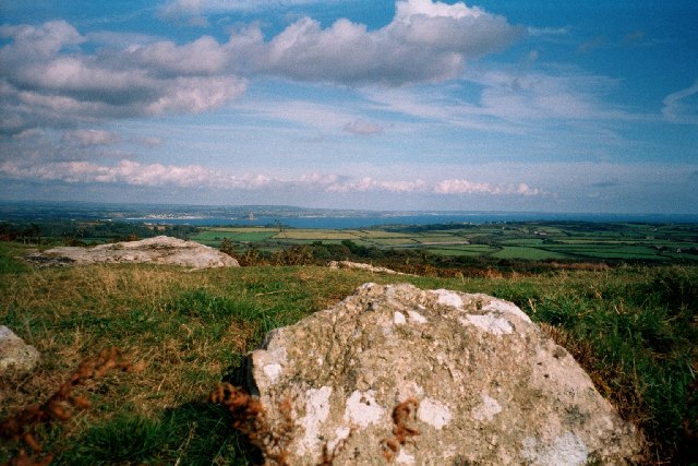
Sancreed Beacon is a Bronze Age archaeological site near the village of Sancreed in the Penwith peninsula of Cornwall maintained by the Cornwall Heritage Trust. On top of the hill are several stone cists and Bronze Age archaeological remains comprising burial mounds and the remains of a Bronze Age hut on the Western slope. This site can be taken in the context of a rich variety of archaeological e

St Just (Cornish: Lannust), also known as St Just in Penwith, is a town and civil parish in Cornwall, England, United Kingdom. It lies along the B3306 road which connects St Ives to the A30 road. The parish encompasses the town of St Just and the nearby settlements of Trewellard, Pendeen and Kelynack: it is bounded by the parishes of Morvah to the north-east, Sancreed and Madron to the east, St B

hill in Cornwall, England, UK
🛒 Amenities & services
🛒 Groceries
 W & J B Jackson - Londis
- Sennen deli
 Spar
Spar
⛽ Fuel
 Gulf
Gulf- Trewellard Garage
 Texaco
🍽️ Food & drink
- Ocean Blue Cafe
 Coffee Republic
- St Buryan Inn
➕ Medical
- Day Lewis Pharmacy
- Cape Cornwall Surgery
- Newlyn Pharmacy
🚰 Drinking water
- Drinking water
🚻 Toilets & showers
- Showers
- Public toilets
- Newlyn Fore Street
🎾 Sports
- Basketball
- Soccer
- Sports
🏧 ATM & bank
 ATM
ATM HSBC UK
 Lloyds Bank
Weather
Current conditions and the forecast to help you plan your trip.
Best time to visit
Typical monthly temperature and rainfall at Lower Treave.
Reviews
Ratings, nightly prices and photos from people who’ve camped here.
No reviews yet — be the first!
Other campgrounds nearby
More places to camp close to Lower Treave.