Treheli Farm
Treheli Farm Caravan & Campsite is a stunning coastal campsite on the corner of Porth Neigwl in North Wales. (via site)
Location
Where Treheli Farm sits on the map and how to get there.
Nearby cities & towns
Towns and cities closest to Treheli Farm — browse campsites near each.
What’s nearby
Shops, drinking water, fuel and attractions within reach of the site.
🏞️ Attractions

Plas yn Rhiw is an early 17th-century manor house in Y Rhiw, Gwynedd in northwestern Wales. The estate consists of a small house of Tudor/Georgian style, a garden of just under one acre in size, and many wooded acres. Located at the base of Mynydd Rhiw, the estate overlooks the beach of Porth Neigwl, Cardigan Bay, and the Llŷn Peninsula.


Y Rhiw () is a small village on the south west tip of the Llŷn Peninsula in Gwynedd, Wales. The village forms part of the community of Aberdaron. From the village there are views towards Snowdonia. Nearby is the National Trust owned Plas yn Rhiw.

Porth Neigwl, also known in English as Hell's Mouth, is a broad bay, about 3 miles (5 km) wide, on the south coast of the Llŷn Peninsula in North Wales.
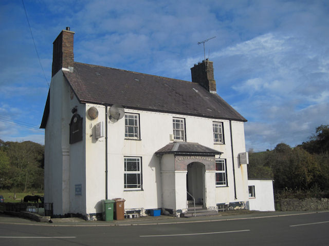
Sarn Meyllteyrn is a village and former civil parish (known at the time as Mellteyrn) in the Welsh county of Gwynedd. It is in the west of the Llŷn Peninsula (Welsh: Penrhyn Llŷn), 8.4 miles (13.5 km) west of Pwllheli and 24.3 miles (39.2 km) south-west of Caernarfon. The village is often referred to simply as Sarn. The parish was abolished in 1934 and divided between the communities of Botwnnog a

Cromlech o'r Oes Neolithig sy'n sefyll hanner ffordd i fyny llethr gogleddol Mynydd Cefnamwlch, Tudweiliog, Llŷn, Gwynedd, yw Coetan Arthur. Fe'i hadnabyddir hefyd yn ôl yr enw Cromlech Cefnamwlch. I'w chyrraedd bydd gofyn trafeulio ar hyd y B4417 o gyfeiriad Llangwnnadl neu Dudweiliog a throi oddi arni ym Meudy Bigin/Bigyn ble mae'r lôn yn fforchio ac yn ymuno â Lôn Trigwm i gyfeiriad Sarn Mellte
🛒 Amenities & services
🛒 Groceries
- Garej Ni
- Convenience
 Spar
Spar
⛽ Fuel
- Garej Ni
- BFL
 Llanbedrog Service Station
🍽️ Food & drink
- Tea room
- Tafarn Pen-y-bont
- The Sun Inn
➕ Medical
- Doctors
- Rowlands Pharmacy
- Fferyllfa H L Taylor Pharmacy
🚰 Drinking water
- Drinking water
🚻 Toilets & showers
- Public toilets
- Showers
🎾 Sports
- Multi
- Soccer
- Swimming pool
🏧 ATM & bank
- ATM
Weather
Current conditions and the forecast to help you plan your trip.
Best time to visit
Typical monthly temperature and rainfall at Treheli Farm.
Reviews
Ratings, nightly prices and photos from people who’ve camped here.
No reviews yet — be the first!
Other campgrounds nearby
More places to camp close to Treheli Farm.